Continuing my series of ten year old photos…
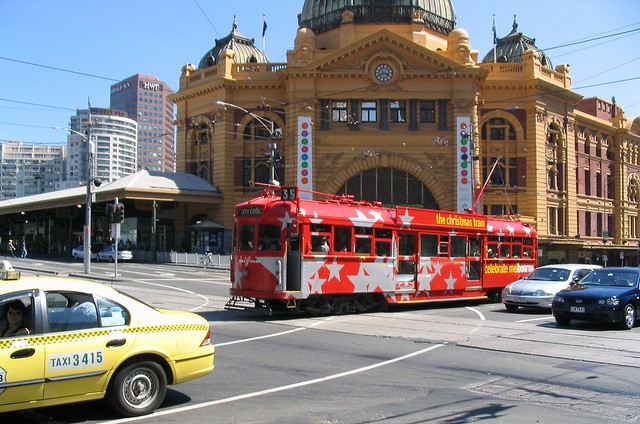
The Christmas tram in Flinders Street
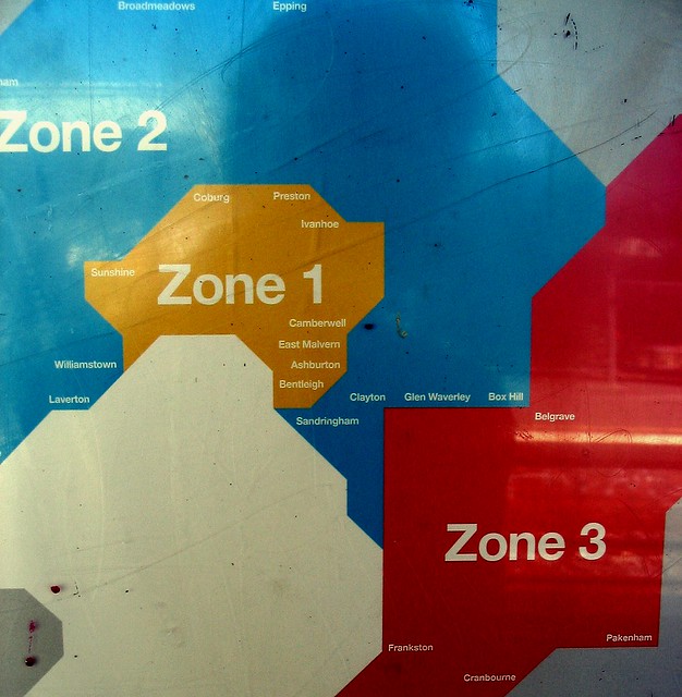
Next, perhaps the most useless Melbourne public transport map ever produced.
It doesn’t show the most well-known location, the CBD, and shows very few others. It also has numerous errors, including: Implies Sandringham is next to Clayton. Implies Glen Waverley is east of Clayton (it’s actually north). Implies Box Hill is east of Glen Waverley (it’s northwest). Implies Belgrave is next to Box Hill (it isn’t). Williamstown is actually in zone 1. Many of the others are on the zone 1/2 boundary.
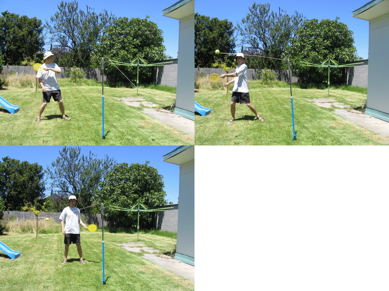
Playing totem tennis in the backyard in Carnegie. (Animated GIF created by GIFmaker.me)
A youthful looking me, on the news just before New Year’s Eve, warning of the chaos to come.
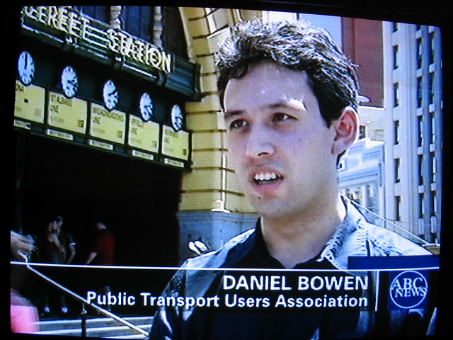
… You can read the full story on that here… or if you just want to know what happened:
3 replies on “Photos from December 2003”
At least the media had started getting your name right!
Back then, we had prominent ‘pro public transport faces’ of whom would always be there for ‘for the cause’.
The zone map of back then, reminded me of how I wanted MetCards to come in those matching colors. Just like the tickets before Metcard. For that reason, I need not have gone from Narre Warren into the City, on a zone 3 ticket by mistake as I had done twice.
Both times I had to get a daily all zone ticket anyhow, so I ended up paying a penalty of paying zone 3 twice.
Come clean and admit you invented the “selfie” :)