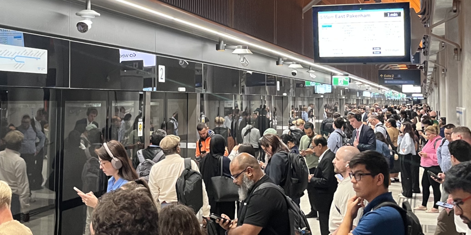
Three weeks after the full opening, people are slowly getting used to the Metro tunnel, and their travel options.
Google update
First some good news: Just in the past few days, Google Maps seems to finally have realistic timings for interchange from the new stations.
- Between State Library and Melbourne Central stations it had thought 7 minutes, via street level, which is an unnecessary detour. It’s now saying 5 via the subway, which is more realistic. I’ve timed this connection (platform to platform) at about 3 minutes if you walk at a reasonable clip including on the escalators.
- Between Town Hall and Flinders Street (platform 1) was even worse – Google until a few days ago said 13 minutes, via the main entrance on Collins Street, along Swanston Street, around the corner along Flinders Street as far as Elizabeth Street, before crossing the road and doubling back to the entrance halfway along.
It’s now saying 7 via the subway, which is better. I’ve found it’s actually around 4-5 minutes for a fast walker, and depending which platform you need, and depending on crowding.
Presumably it was an issue in the GTFS data. It’s pretty bad that it took so long for this to be fixed, given the stations and the connecting subways opened at the end of November. But better late than never.
I still think those estimates are a little too high, but it’s definitely an improvement. Previously Google would send you a different way because it thought it was quicker – even if it was not.
Early in the month The Age interviewed one passenger who caught three trains between Cranbourne and Collingwood. I understand that was due to Google’s suggestion. It now shows a more sensible two train trip.
Trip timings
With all this in mind, I’ve compared peak hour trips on the two lines that run via the Metro tunnel, heading into various CBD stations.
I’ve used slightly faster interchange times based on my own timings.
Note that you should really consider the options to your final destination, not just the station you’re used to using… Your quickest or most convenient trip might be by using a different station.
(I don’t expect everyone to read the numbers below, but I wanted to work them out for my own interest. Feel free to skip ahead to the conclusions.)
From Oakleigh (Cranbourne/Pakenham lines)
| Trip | Old option 1 | Old option 2 | New option 1 | New option 2 |
|---|---|---|---|---|
| Oakleigh to Richmond | 21 mins | To Malvern* 11 mins + change 1-2 mins + 0-7 mins + train to Richmond 10-12 mins = 22-32 mins | To Town Hall 22 mins + change 4-6 mins + wait 0-3 mins + train from Flinders St 4 mins = 30-34 mins | |
| Oakleigh to Parliament | Loop train 25 mins | To State Library 24 mins + change 3-5 mins + wait 0-3 mins + train from Melb Central 2 mins = 29-35 mins | To Malvern* 11 mins + change 1-2 mins + wait 0-7 mins + train to Loop 14-16 mins = 26-36 mins | |
| Oakleigh to Melbourne Central/State Library | 27 mins | 24 mins | ||
| Oakleigh to Flagstaff | 29 mins | To State Library 24 mins + change 3-5 mins + wait 0-3 mins + train from Melb Central 2 mins = 29-34 mins | To Malvern* 11 mins + change 1-2 mins + wait 0-7 mins + train to Loop 18-20 mins = 30-40 mins | |
| Oakleigh to Southern Cross | 31 mins | To Town Hall 22 mins + change 4-6 mins + wait 0-3 mins + train from Flinders St 4 mins = 30-35 mins | To Malvern* 11 mins + change 1-2 mins + wait 0-7 mins + train to Loop 20-22 mins = 32-42 mins | |
| Oakleigh to Flinders Street/Town Hall | Loop train 35 mins | To Richmond 21 mins + change 1 min + wait 0-5 mins + direct train to Flinders Street 4 mins = 26-31 mins | 22 mins |
Some notes on this:
It’s incredibly annoying that the official timetables for Cranbourne/Pakenham end at Town Hall. To see the times to and from State Library, you have to separately look at the Sunbury line timetable. Ridiculous.
*Malvern is generally a better interchange than Caulfield inbound, because there’s less walking, no gates (though Caulfield’s are being removed shortly), fewer people. But there are issues with PM peak Frankston express trains not stopping there. Consistency would be good.
Also: if outbound transferring outbound from the Metro Tunnel to a stopping Frankston train, Malvern is better because Metro Tunnel trains tend to arrive at Malvern 1-2 minutes early, and wait there. That makes you slightly more likely to catch an earlier connection than changing at Caulfield.

Okay, let’s try from the west.
From Sunshine (Sunbury line)
| Trip | Old option 1 | Old option 2 | New option 1 | New option 2 |
|---|---|---|---|---|
| Sunshine to North Melbourne | 14-15 mins | To Footscray 10-11 mins + change 1-2 mins + wait 0-7 mins + Train to NM 5-6 mins = 16-26 mins | To Arden 14-15 mins + exit 1-2 mins + walk 11-12 mins = 26-29 mins | |
| Sunshine to Flagstaff | 17-18 mins | To State Library 20-21 mins + change 3-5 mins + wait 0-3 mins + train from Melb Central 2 mins = 25-31 mins | To Footscray 10-11 mins + change 1-2 mins + wait 0-7 mins + train to NM 5-6 mins + change 1-2 mins + wait 0-8 mins + train to Flagstaff 3 mins = 20-37 mins | |
| Sunshine to Melbourne Central/State Library | 19-20 mins | To State Library 20-21 mins | ||
| Sunshine to Parliament | 21-22 mins | To State Library 20-21 mins + change 3-5 mins + wait 0-3 mins + train from Melb Central 2 mins = 25-31 mins | To Footscray 10-11 mins + change 1-2 mins + wait 0-7 mins + train to NM 5-6 mins + change 1-2 mins + wait 0-8 mins + train to Flagstaff 7 mins = 24-41 mins | |
| Sunshine to Flinders Street/Town Hall | 24-25 mins | 23-24 mins | ||
| Sunshine to Southern Cross | 27-28 mins | To North Melbourne 14-15 mins + change 1-2 mins + wait 0-8 mins + train to SC 4 mins = 19-29 mins | To Footscray 10-11 mins + Change 1-2 mins + wait 0-7 mins + Train to SC 9-10 mins = 20-30 mins | To State Library 20-21 mins + change 3-5 mins + wait 0-3 mins + train from Melb Central 4 mins = 27-33 mins |
Trips to Flagstaff and Parliament have limited options, due to no Loop trains at all from the western suburban lines via Footscray.
Change twice might be quicker than changing once at State Library, but also might be slower.

Conclusions
I’d continue to encourage people to try different options, including aiming for a City station that may be a slightly longer walk but a more direct train trip.
Some of the trip options would be quicker if the wait times for connections weren’t so variable. Up to 7 minutes wait at Footscray for a train to Southern Cross, for instance, despite 12 trains per hour. Similar at Malvern; both have uneven peak frequencies due to a mix of express and stopping trains.
As a passenger, you can use the real-time information in the PTV app to check the next train/s when a connection opportunity is approaching. (Though in reality, most people don’t want to overthink their trip like this.)
All of these connection times are likely to blow out when travelling outside peak hours. Again, this is down to frequencies, and is part of the reason that actual big city metros don’t markedly reduce their service levels outside commuter peaks.
Authorities are continuing to tweak things. Signage has been adjusted, so have announcements at interchanges, and Caulfield’s space-hogging fare gates are being removed soon.
Government was warned that Caulfield would be a problem. There’s more they can do, including opening the extra gates onto platform 1, but at some point they’re going to need to invest in something bigger, like a North Melbourne-style extra concourse.
In the meantime, if you’re on one of the affected lines, how are you finding it?
18 replies on “Metro Tunnel travel options”
My journey is on Frankston line to Flinders Street. I compared switching to Sandringham Line at Richmond but the transfer penalty and longer walk at Flinders Street mean it’s easier and more reliable to travel the loop.
On the way home thankfully Frankston line is direct from Flinders St. if was changed to the loop I’d instead switch my two-way journey to the Sandringham line and drive much further to get to it.
I’ve not considered the new line because of the time lost at Caulfield or Malvern and probably having to stand for the rest of my journey.
@Dave, it actually is worth considering.
My theoretical usual station is Flagstaff, but during the time the Frankston line ran direct to Flinders Street, I got used to walking from there… only a few minutes extra.
So subsequently I’ve tried changing at Caulfield or Malvern onto a Metro tunnel train, and walking from Town Hall. It’s quicker than the old (stopping all stations) trip to Flinders Street, and about on par with staying on the train to Flagstaff.
And there’s a bonus from using the Metro tunnel: the phone signal is MUCH better than on the Frankston train, which can receive a signal but is very congested.
We take Cranbourne / Packenham services to a variety of places in the city.
Biggest observations is that speed into most places in the Hoddle Grid has improved but may require a little more walking or using trams. Some of that time gain comes from the faster speed through the Metro Tunnel – no more unexplained delays entering the Loop after Richmond. The quieter and smoother ride is also an improvement.
Also finding it useful to try different exits in the new stations. For example, heading east up Collins St from Town Hall is much quicker when using the lifts, not the escalators.
Enjoying getting more seats as a lot of commuters on our line are still addicted to changing to Loop stations. Our neighbour works in Docklands but was charging at State Library to a Loop service to Southern Cross. Best deal for her is probably the 48 or 11 tram from Town Hall.
Changing at Malvern definitely the better option, for reasons stated but also because the gradients on the ramps are better. The current ramp at Caulfield to Platform 1 must be a disaster for anyone with mobility aids. Bring on an overpass at the east end like the newish one at North Melbourne.
At 8:40 tonight I made it from State Library, up the gigantic escalator, through to Melbourne Central and down the express escalator to platform 4 in 2 minutes to catch my Lilydale train which was pulling in by the time I raced down the escalator, with the next of course being in 30 minutes.
Metro Tunnel 1, Lilydale line 0, Big Switch −1.
If u want to go from Arden to North Melbourne or vice versa just take the 241 bus – no need to walk 11 mins.
Worth saying that for something like Oakleigh to Parliament, you might lose time on the way there vs the old way but save some time again on the way back, since you no longer have to go the whole way around the loop in the wrong direction.
I am not sure what it is like in peak times but I think the number of people who use the lifts at the northern end of Town Hall was underestimated. Two lifts not far apart as against three escalators makes it a no brainer to me. Maybe when other entrances open, the loadings will be more evenly spread. I’ve learnt coming from the south, front of train for Town Hall if not walking to FSS, rear of train for State Library, although the exit usings lifts took me a while to master with Franklin Street being much easier and faster, and train door 18 when travelling the opposite direction to get off next to the lifts at Anzac.
My commute is a fair distance—Aspendale to Parkville.
For inbound I have variously tried changing at Caulfield, Malvern, and Melbourne Central and I have yet to settle on a preference.
It’s slightly better chances of getting a seat at Caulfield than Malvern but I prefer Malvern just because the interchange at Caulfield feels way longer in terms of distance. Steep ramps don’t help.
The change at Melbourne Central is comical with two lifts (both reversing your direction) but it has the plus that the train will be nice and roomy after dumping PAX at TH and SL. It’s also easier disembarkment from the Frankston UP because so many get off at Parliament.
I’ll probably settle on Malvern in the end.
Your time for Sunshine to MC/SL needs to consider which exit of MC you use. If using the Elizabeth St exit it’s a longer walk now.
Can’t speak for Oakleigh but from the Sunbury line, it also eliminates the 10 minute penalty from having double the number of trains and not having to wait 20 minutes if you just happen to miss one.
My wife commutes from Mitcham to Ginnifer. She used to change at Southern Cross, but now changes at MC/SL. The commute has improved in terms of both time saved (5-7 minutes) and frequency of trains on the section between city and Ginnifer.
@Arfman, the section between Watergardens and Sunbury is 20 minutes, but it had been doubled from every 40 minute to every 20 minutes. So in effect, the entire Sunbury line has double the services it had previously (my section is every 10 minutes during the day).
TLDR: They really need to come up with consistent language for how services are described and where they terminate.
The inconsistent way services are listed in the PTV app, Journey Planner, disruptions list, alerts and how they are displayed on platform displays and signage is probably not helping confusion amongst people who are trying to work out their new journeys.
For example, if you use the Journey Planner or PTV app in the evening to try to plan your journey for the following day it shows all services as terminating at Town Hall. So you work out your departure, say the 6.55am Town Hall and you’re all prepared to go. The next morning you arrive at the station and the 6.55am Town Hall doesn’t appear anywhere on the displays. You check the PTV app and it’s the same problem, that train has disappeared, but there’s now a 6.55am Westall service. Is that the same one I should be taking? I have no idea and I’ve just missed my train while I’ve been working this out.
This scenario is what caught me out on the first day of the ‘Big Switch’ and I assumed it was perhaps because I was planning my journey before the switch had happened but I’ve since come to learn that this is how the PTV app plans trips all the time! It shows everything terminating at Town Hall unless you’re planning your trip on the day of travel, where it magically then switches all those services out to their actual destination. This seems silly because there’s absolutely no reference to Town Hall on displays when you turn up to the station, it only says “via the Metro Tunnel”.
I’ve also boarded this particular service where it is advertised in the PTV app and on the platform as an “Express to Westall via Metro Tunnel” only to board the train and the internal displays show it as a “Town Hall Limited express via Metro Tunnel” so is this train going to Westall or not? How does it even terminate at Town Hall in the middle of the tunnel? Fun fact: it did terminate at Town Hall, we got kicked off and platform displays said not taking passengers, despite it being shown as going through to Westall at all the previous stops.
The PTV disruption list and Metro notify alerts are different again, they will describe issues with this Westall service as “the 6.55am Sunbury to Anzac service has been cancelled” but I can’t find any service that terminates at Anzac so why does it get phrased like this? For extra confusion, this same cancellation then gets described on the other side of the tunnel as “the 7.35am Arden to Westall service has been cancelled”.
These issues also flow across to third party apps, many of which have inconsistent ways of displaying where services are terminating. Apple Maps still shows all services as terminating at Town Hall even though they don’t. Some apps do correctly show the final destination though.
As you mentioned above, the official timetables list all the services terminating at Town Hall. They did release a combined document that merged this information, but this should be the standard across everything!
Surely every train should be described by its final destination and the key city feature it is travelling through (ie. via Metro Tunnel, via City Loop, via Flinders St).
Surely that is not rocket science?
Hughesdale to Town Hall is a breeze, just a walk uphill now in the morning as I’m closer to Parliament station but coming home walking down hill and not having to change trains etc like I used to to bypass the city loop has made it a lot quicker… Though if anything they could have put more myki gates in for exit 1
I’m glad to see walking directions have been fixed, I’m not entirely sure this is 100% on the GTFS feed, though. There are many, many trips I’ve found where walking directions with Google Maps falls short causing public transport options to look worse than it actually it is.
For example, try any interchange at Preston or Coburg and the walking directions provided to the bus stop might send you on a wild goose chase, adding valuable time to the final trips provided in Google Maps.
A workaround is timing these connections myself and using TripView to plan my trips, but this is a very manual alternative and only suitable if one knows exactly where they need to go – especially as the API still doesn’t have grouped interchanges, showing multiple stops under the same name as options. For comparison, Transport for NSW provides bus stop grouping for stops on the same street for example.
‘Government was warned that Caulfield would be a problem. There’s more they can do, including opening the extra gates onto platform 1, but at some point they’re going to need to invest in something bigger, like a North Melbourne-style extra concourse.’
It boggles the mind that nothing has been done to improve Caulfield when they’ve had 10 or whatever years to plan something, knowing that Caulfield was going to be a major interchange for the tunnel; simply adding Malvern as another interchange is lazy. Likewise, Footscray is also a pain.
I recently had to change to and from tunnel services at both Caulfield and Footscray and it was annoying, so I can imagine what it’s like for people needing to do it every day.
And just after I post I see this on Reddit: https://www.reddit.com/r/MelbourneTrains/s/hpnTGT4gOp
A small but necessary step in the right direction.