Yes I’ve been quiet on the blog recently. So, so busy.
But here’s a post of ten year old photos from June 2012.
A rainy day at the Bourke Street/Russell Street intersection
Footscray station before the new platforms were provided for the Sunbury line and the new bridge partially demolished and extended as part of the Regional Rail Link project.
Light and shadow at my local station, Bentleigh, before it was rebuilt. The staffer was presumably on a quick break.
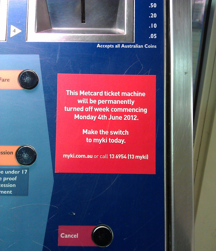
Another snap when the booking office was open. Note the Myki cards stored in the ancient ticket dispenser, and the sign saying you had to go to a completely different platform for the Myki machine, as the rollout was still underway.
In fact, Myki had been first introduced in 2009, but over two years later Metcard was still running in parallel with it. It lasted until the end of 2012.
One issue with Myki that amazingly took until 2019 to resolve was the machines printing an EFTPOS/credit card receipt when you didn’t want one, and printing two when you did want one.
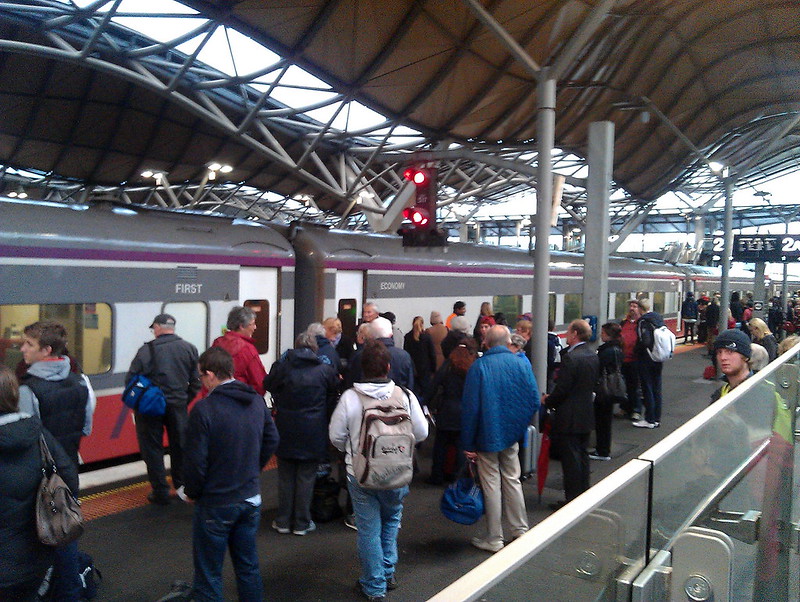
Attention. V/Line. Passengers. Do not board the train on platform 2A until advised.
Back in 2011 I’d snapped a photo of the use of the abbreviation “Fkn” for Frankston. By 2012 they’d amended it to spell it out in full, and instead, contracted the word Express.
5th June 2012 was not a great morning for Cranbourne/Pakenham line passengers, with some having to climb out of their stopped train and walk along the tracks.
Kensington station. This is one of the worst level crossings still remaining on the system, and if they ever decide to remove it, it’ll be pretty tricky.
After a slow start, the Protective Services Officer rollout on the rail network started to accelerate in mid-2012, with Channel 9 using this interesting graphic which included the old Zone 3 (removed in 2007).
The federal electorate of Batman, named for the now controversial John Batman was replaced by Cooper in 2018. The station however still retains that name.
Finally, the skyline of Melbourne as seen from Quarry Park in Footscray. I should get up there with my good camera – it’s a great view.


2 replies on “Old photos from June 2012”
Indeed, where did Channel 9 find a circa 1990 Met map?
According to the long-outdated map, in 2012, Craigieburn was a regional V/Line station, Roxburgh Park didn’t have a station, Sydenham was also beyond the wires and located in Sunbury, Keilor Plains didn’t exist, Epping was the end of the South Morang line (South Morang was reopened two months before this aired, albeit nowhere near the original South Morang station, which was actually where Middle Gorge is now located – today’s South Morang is where Stopping Place #39 used to be), and Cranbourne, obscured by a red dot, was the next station southeast of Dandenong, provided you got off there and swapped to the railmotor waiting on the other platform! No Merinda Park back then, never mind Lynbrook. By pure luck, the Pakenham line in the 1990s had the same number of stations as today by virtue of having General Motors station and not Cardinia Road (the latter opened on the same day as South Morang).
I was on a train just like that at Cauflield, I would not be surprised if you caught me at it in those photos, although I could not find myself there.
That cant be a common event really. One of the pantograhps got caught in the overhead wire.